In the early 1920s, photographer Mary Crehore Bedell and her physicist-husband Frederick took an arduous 12,000-mile road camping trip to encircle the United States. She documented the adventure in her book, Modern Gypsies (Brentano's, 1924). Hoping to visit friends in New Orleans, the Bedells learned that the road from coastal Mississippi to New Orleans was mired in mud, as were roads along the Mississippi River to the North. They opted to store their Hupmobile and took a train into New Orleans.

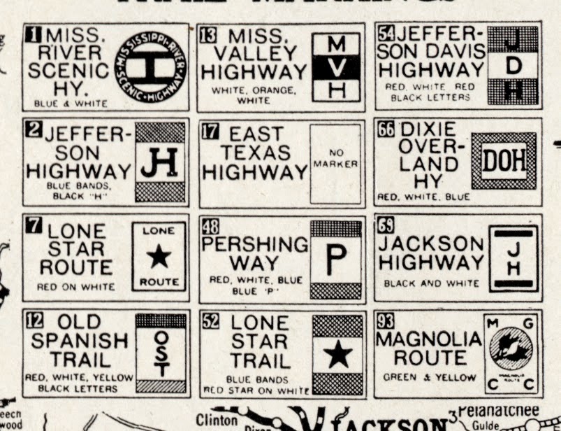
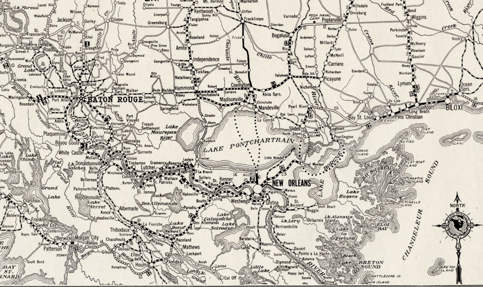
Images above: Top: Details. Rand McNally Junior Auto Trails Map: Louisiana. F-23 from Rand McNally Commercial Atlas of America (1924).
Bottom: J.P. Troy, photographer. Mary Crehore and Frederick Bedell in Their Hupmobile. From Mary Crehore Bedell. Modern Gypsies. New York: Brentano's, 1924.
No comments:
Post a Comment